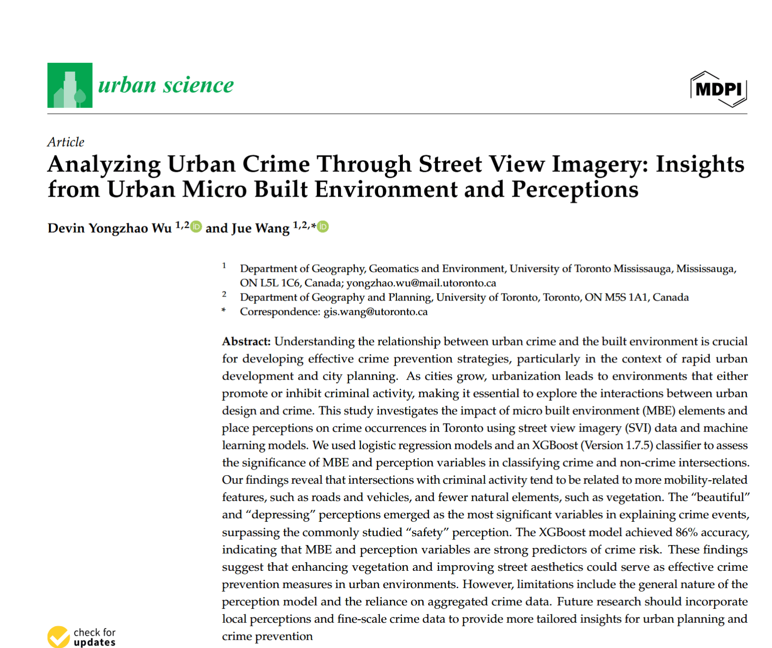
Predicting Street Crime Through Environmental Design and Human Perception
Link to the paper
This project demonstrates how to:
- Extract micro built environment (MBE) features from street view imagery using deep learning
- Quantify human perceptions of urban spaces (safety, beauty, depression) at scale
- Apply machine learning models to predict crime likelihood at street intersections
- Analyze the relationship between environmental design and criminal activity
Features
- Deep Learning Segmentation: 19 MBE types extracted using PSPNet trained on Cityscapes dataset
- Perception Modeling: 6 human perception variables (safety, beauty, liveliness, etc.) derived from Place Pulse 2.0
- Crime Classification: XGBoost model achieving 86% accuracy in predicting crime vs non-crime intersections
- City-wide Analysis: Comprehensive study of Toronto’s street intersections and crime patterns
- CPTED Integration: Findings aligned with Crime Prevention Through Environmental Design principles
Technical Stack
-
Deep Learning
- PSPNet (Pyramid Scene Parsing Network): Semantic segmentation of street environments
- Cityscapes Dataset: 25,000 annotated urban street scenes for model training
- GluonCV: Pre-trained computer vision models implementation
-
Machine Learning
- XGBoost: Primary classification model for crime prediction
- Logistic Regression: Statistical analysis of feature associations
- Feature Importance Analysis: Data impurity-based metrics for variable ranking
-
Perception Analysis
- Place Pulse 2.0 Dataset: 1.17M pairwise comparisons of street imagery
- Strength-of-Schedule Algorithm: Converting pairwise comparisons to 0-1 perception scores
- Support Vector Classifier: 79.44% accuracy in safety perception classification
-
Geospatial Data
- Toronto Police Open Data: 242,879 crime records (2014-2022)
- Toronto Census Data 2016: Demographic control variables
- Google Street View API: High-resolution street imagery collection
-
Statistical Analysis
- Variance Inflation Factor (VIF): Multicollinearity detection
- Akaike Information Criterion (AIC): Model comparison and selection
- Five-fold Cross-validation: Model validation and performance assessment
Project Story
Traditional crime analysis relies on aggregated census data that fails to capture fine-grained environmental details around crime locations. This study addresses the gap by:
- Micro-scale Analysis: Moving beyond census blocks to examine specific street intersection characteristics
- Perception Integration: Incorporating human perceptions beyond just safety (beauty, depression, liveliness)
- Environmental Design Focus: Testing Crime Prevention Through Environmental Design (CPTED) principles with data
The research collected street view imagery for crime and non-crime intersections across Toronto, extracting detailed environmental features and human perception scores to understand what makes certain locations more susceptible to criminal activity.
Key Findings
- Environmental Factors: Mobility-related elements (roads, vehicles, sidewalks) showed strong positive association with crime
- Vegetation Effect: Natural elements like vegetation significantly reduced crime likelihood
- Perception Insights: Beauty and depression perceptions were better predictors than traditional safety measures
- Model Performance: MBE variables explained crime events more effectively than perception variables alone
- Urban Planning Impact: Findings support targeted interventions in street design and environmental aesthetics
Results
- Best Classification Model: XGBoost with all variables
- Accuracy: 86% in five-fold cross-validation
- Top predictors: Traffic lights, buildings, vegetation, beautiful perception
- Statistical Significance: All perception variables except “lively” showed significant associations with crime
- Feature Importance: Beautiful perception ranked highest among perception variables
- Practical Applications: Results inform urban planning strategies for crime prevention
Implications
This research provides evidence-based insights for:
- Urban Planners: Balancing accessibility with safety in public space design
- Policymakers: Understanding how environmental aesthetics influence crime patterns
- Community Safety: Implementing targeted interventions based on environmental risk factors
- CPTED Practitioners: Validating environmental design principles with large-scale data analysis
Conclusion
The study demonstrates that street-level environmental characteristics and human perceptions are significantly associated with crime events. By integrating computer vision, machine learning, and urban theory, this framework offers a scalable approach to understanding and predicting crime patterns for safer, more sustainable urban development.
The methodology can be adapted to other cities with street view imagery coverage, providing a valuable tool for evidence-based urban planning and crime prevention strategies.
